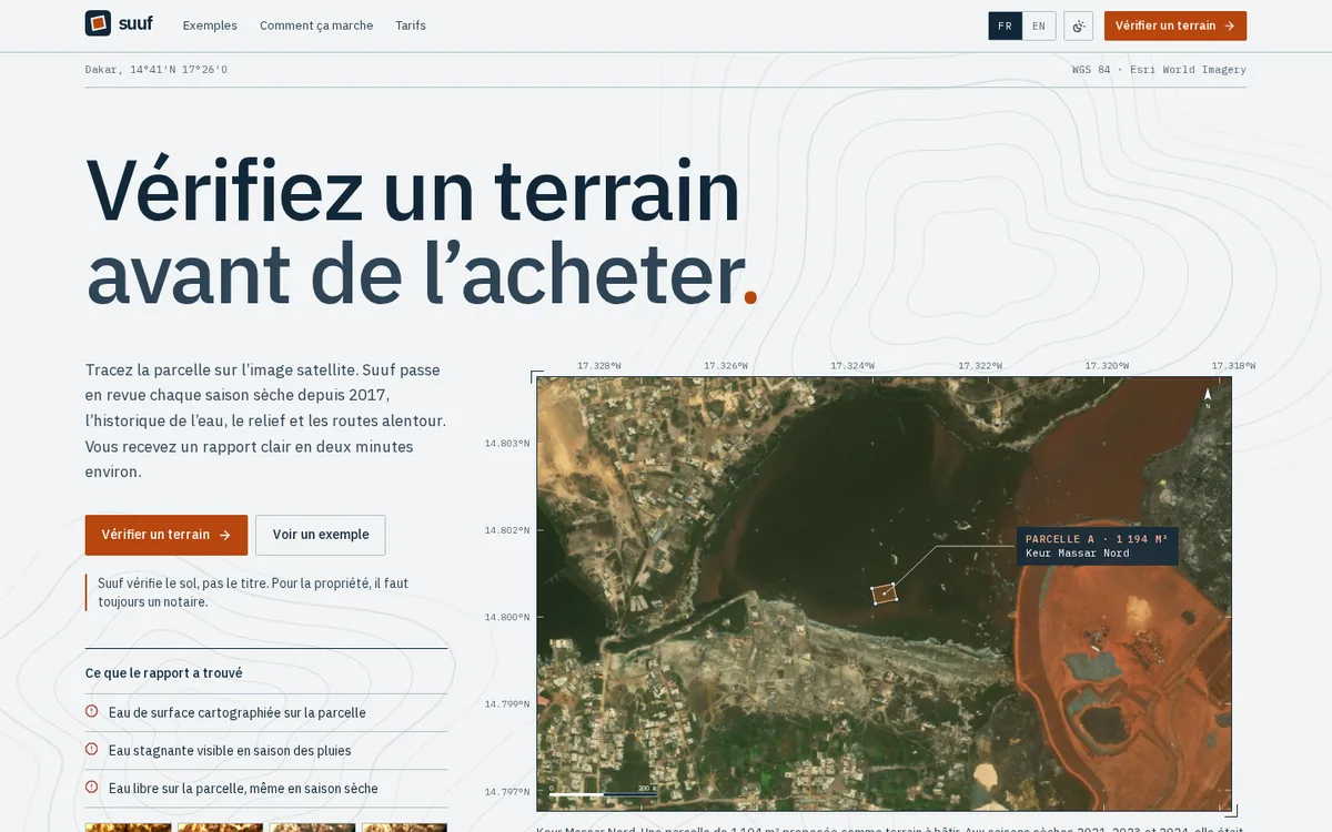
What it does
Draw the plot on the satellite image. Suuf goes through every dry season since 2017, the water history, the terrain and the roads around it, and hands you a clear report in about two minutes.
Who it's for
People buying land in Senegal or West Africa, often from far away, and those who advise them.
Three things to know
- Ten years of satellite images
- One image per dry season since 2017, to see whether the plot has been under water.
- Flooding, terrain, access
- Water signs, slope and roads, summed up as points to check on site.
- A report you can pass on
- A private link valid for 1, 7 or 30 days, and a signed PDF with a verification QR code.
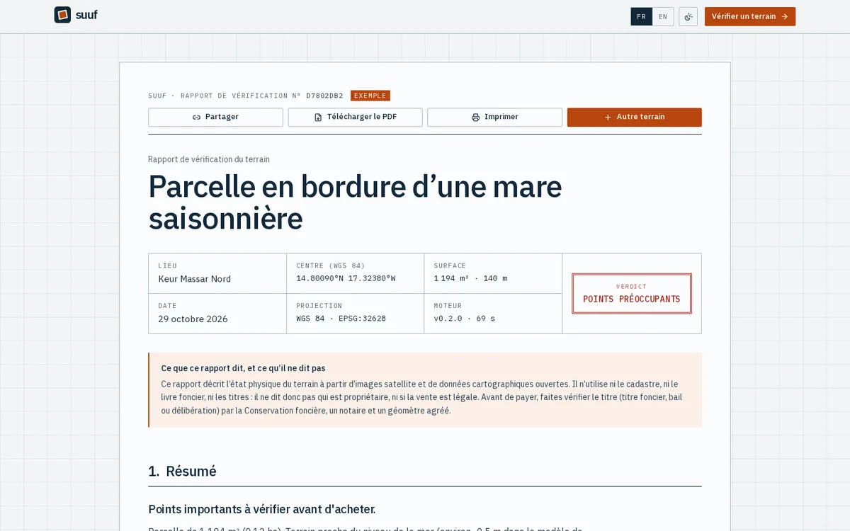
Your data
When you are signed in, your reports are private: you decide who gets the link and for how long, and you can switch it off.
What it doesn't do
Suuf checks the ground, not the title. For ownership you still need a notary.